
Medieval Village of Wharram Percy (Site Of)
Wharram Percy is a deserted medieval village and former civil parish near Wharram-le-Street, now in the parish of Wharram, on the western… Leer más…
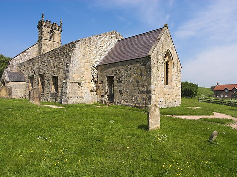


Medieval Village of Wharram Percy (Site Of) – Añadir a tu viaje
Crea un itinerario de viaje detallado con rutas inteligentes, estimaciones de tiempo y todo lo que necesitas para un viaje perfecto.




Wharram Percy is a deserted medieval village and former civil parish near Wharram-le-Street, now in the parish of Wharram, on the western edge of the chalk Wolds of North Yorkshire, England. It is about 1 mile south of Wharram-le-Street and is signposted from the Beverley to Malton road. Wharram Percy was part of the East Riding of Yorkshire until the 1974 boundary changes. In 1931 the parish had a population of 40.The earthworks of the village have been known for many years, and outlines of house platforms were drawn onto the first Ordnance Survey six-inch maps of Yorkshire published in 1854. The site was researched each summer by combined teams of archaeologists, historians and even botanists, from about 1950 to 1990 after it was singled out for study in 1948 by Professor Maurice Beresford of the University of Leeds.The site is now in the care of Historic England.
Source: Wikipedia
Más información y contacto
Medieval Village of Wharram Percy (Site Of) – Añadir a tu viaje
Crea un itinerario de viaje detallado con rutas inteligentes, estimaciones de tiempo y todo lo que necesitas para un viaje perfecto.

