
Arizona Trail
The Arizona National Scenic Trail is a National Scenic Trail from Mexico to Utah that traverses the whole north–south length of the U.S.… Leer más…


Arizona Trail – Añadir a tu viaje
Crea un itinerario de viaje detallado con rutas inteligentes, estimaciones de tiempo y todo lo que necesitas para un viaje perfecto.




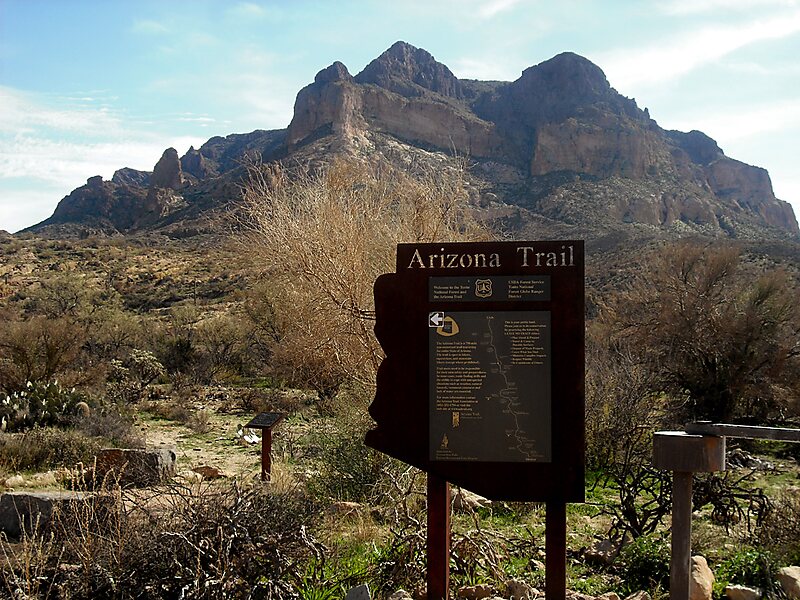
The Arizona National Scenic Trail is a National Scenic Trail from Mexico to Utah that traverses the whole north–south length of the U.S. state of Arizona. The trail begins at the Coronado National Memorial near the US–Mexico border and moves north through parts of the Huachuca, Santa Rita, and Rincon Mountains. The trail continues through the Santa Catalina north of Tucson and the Mazatzal Mountains before ascending the Mogollon Rim north of Payson, and eventually leading to the higher elevations of Northern Arizona and the San Francisco Peaks. The trail then continues across the Coconino Plateau and in and out of the Grand Canyon. The Arizona Trail terminates near the Arizona–Utah border in the Kaibab Plateau region. The 800-mile long Arizona Trail was completed on December 16, 2011. The trail is designed as a primitive trail for hiking, equestrians, mountain biking, and even cross country skiing, showcasing the wide variety of mountain ranges and ecosystems of Arizona.
Source: Wikipedia
Más información y contacto
Arizona Trail – Añadir a tu viaje
Crea un itinerario de viaje detallado con rutas inteligentes, estimaciones de tiempo y todo lo que necesitas para un viaje perfecto.