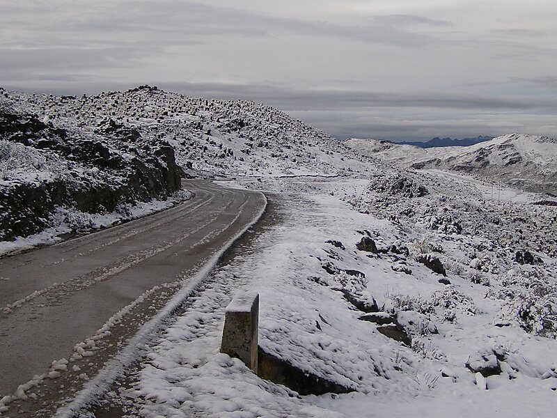
The Trans-Andean Highway, was inaugurated on July 24, 1925. It is 1,539 km long. It runs through the Venezuelan states of Mérida, Trujillo and Táchira, from the proximities of Agua Viva up until San Cristóbal.
Its highest point is located on Collado del Cóndor, at 4,118 meters, making it the highest highway in Venezuela.
Wikipedia https://en.wikipedia.org/wiki/Transandean_Highway
Coordinates 8°37'33.924" N -71°7'31.188" E
