
Mt. Akita-Komagatake
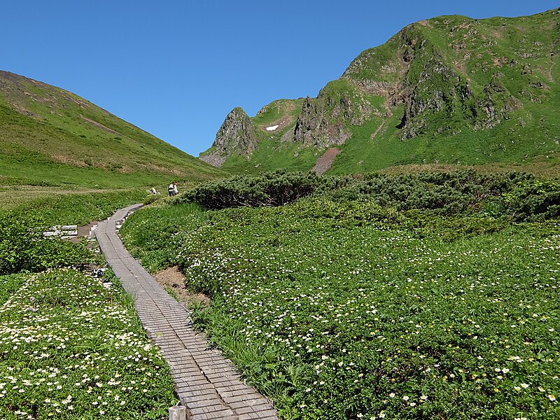
Akita-Komagatake is an active stratovolcano located 10 km east of Tazawa Lake, near the border between Akita and Iwate prefectures on… Leer más…


Mt. Akita-Komagatake – Añadir a tu viaje
Crea un itinerario de viaje detallado con rutas inteligentes, estimaciones de tiempo y todo lo que necesitas para un viaje perfecto.




Akita-Komagatake is an active stratovolcano located 10 km east of Tazawa Lake, near the border between Akita and Iwate prefectures on Honshu Island. The volcano last erupted from 18 September 1970 to 25 January 1971. It is the highest mountain in Akita Prefecture and the second highest in Towada-Hachimantai National Park.
Source: Wikipedia
Más información y contacto
Mt. Akita-Komagatake – Añadir a tu viaje
Crea un itinerario de viaje detallado con rutas inteligentes, estimaciones de tiempo y todo lo que necesitas para un viaje perfecto.