Pieterpad
The Pieterpad is a long distance walking route in the Netherlands. The trail runs 498 kilometres from Pieterburen, in the northern part of… Read more…


Add Pieterpad to Your Trip
Create a detailed travel itinerary with smart routing, time estimates, and everything you need for a perfect trip.


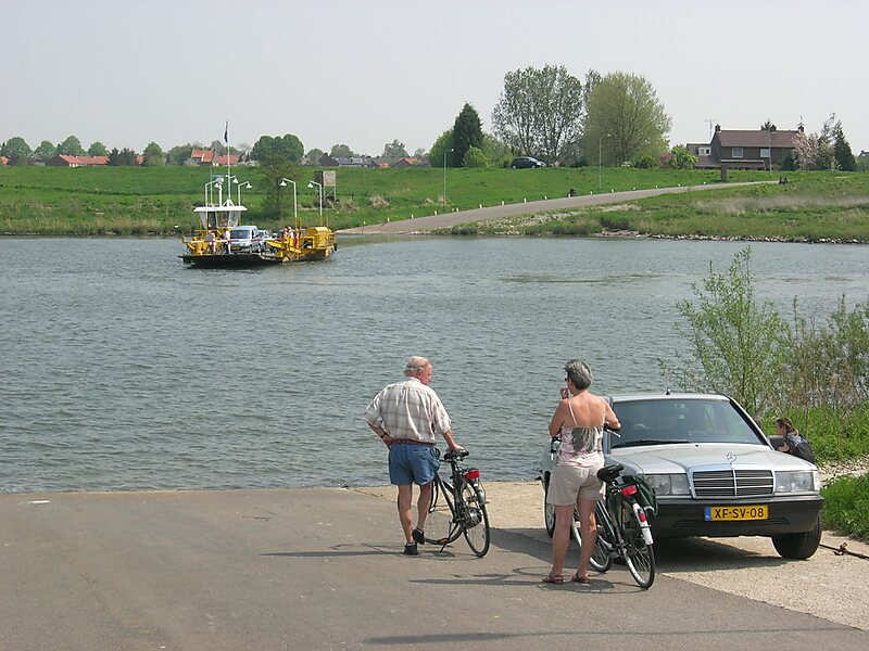
The Pieterpad is a long distance walking route in the Netherlands. The trail runs 498 kilometres from Pieterburen, in the northern part of Groningen, south through the eastern part of the Netherlands to end just south of Maastricht, on the top of Mount Saint Peter, at a height of 109 metres. The Pieterpad is one of the official Long Distance Paths in the Netherlands and by far the most popular of its long distance walking routes. It is possible to walk the route in either direction, and throughout the year. It is well signposted, and is well served by public transport and accommodation throughout its length. The official guide book is in two volumes, Pieterburen-Vorden and Vorden-Maastricht. A dedicated website also gives updated accommodation details. Although the walking is always easy and never remote, it is a varied and often beautiful walk, passing through woods, polders, heathland, and numerous small Dutch villages.
Source: Wikipedia
More Information and Contact
Add Pieterpad to Your Trip
Create a detailed travel itinerary with smart routing, time estimates, and everything you need for a perfect trip.