
Erving State Forest
Erving State Forest is a publicly owned forest with recreational features located north of the Millers River in the towns of Erving,… En savoir plus…


Erving State Forest – Ajoute à ton voyage
Crée un itinéraire détaillé avec routage intelligent, estimations de temps et tout ce dont tu as besoin pour un voyage parfait.




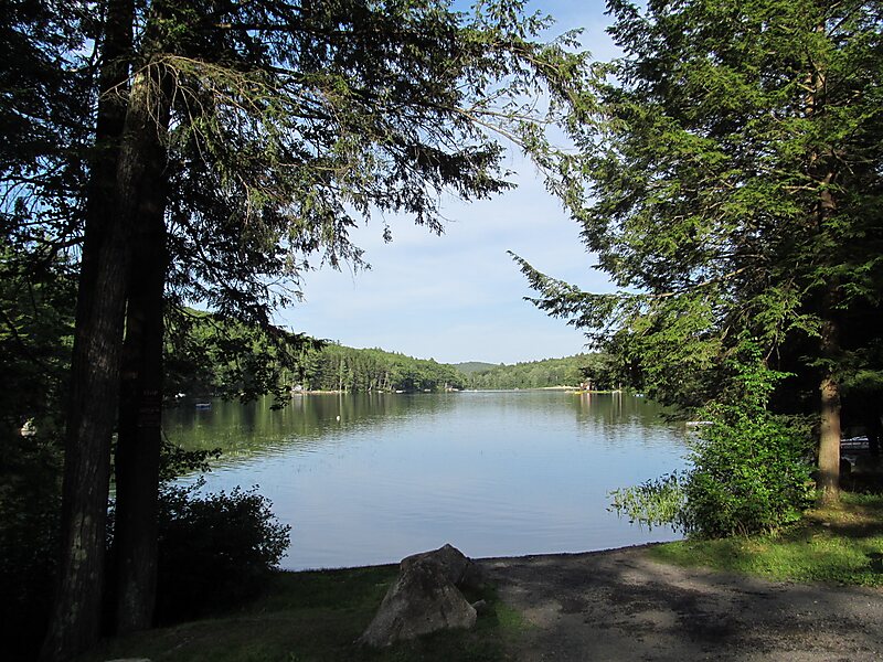
Erving State Forest is a publicly owned forest with recreational features located north of the Millers River in the towns of Erving, Warwick, and Orange, Massachusetts. The property is centered on Laurel Lake, a 51-acre body of water that has been a popular recreational destination since the 1930s. The forest's network of roads and hiking trails were largely created by the Civilian Conservation Corps. The forest is managed by the Department of Conservation and Recreation.
Source: Wikipedia
Plus d'informations et contact
Erving State Forest – Ajoute à ton voyage
Crée un itinéraire détaillé avec routage intelligent, estimations de temps et tout ce dont tu as besoin pour un voyage parfait.