
Covered Bridge
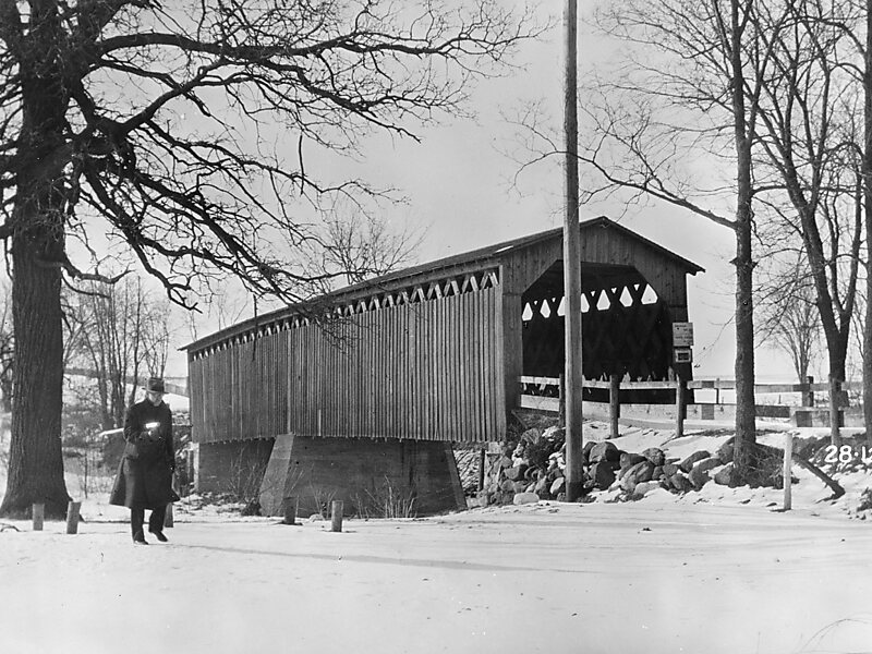
The Covered Bridge in Cedarburg, Ozaukee County, Wisconsin, United States, is one of the last remaining covered bridges in that state,… En savoir plus…


Covered Bridge – Ajoute à ton voyage
Crée un itinéraire détaillé avec routage intelligent, estimations de temps et tout ce dont tu as besoin pour un voyage parfait.




The Covered Bridge in Cedarburg, Ozaukee County, Wisconsin, United States, is one of the last remaining covered bridges in that state, which once had about 40 covered bridges. Built in 1876 to cross Cedar Creek, the bridge is 120 feet long and is made of pine with oak lattices. It was listed on the National Register of Historic Places in 1973 and is now used only for pedestrian traffic.
Source: Wikipedia
Plus d'informations et contact
Covered Bridge – Ajoute à ton voyage
Crée un itinéraire détaillé avec routage intelligent, estimations de temps et tout ce dont tu as besoin pour un voyage parfait.