



Lhotse Shar
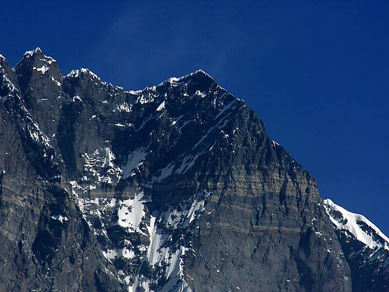
Lhotse Shar is a subsidiary mountain of Lhotse, at 8,383 m high. It was first climbed by Sepp Mayerl and Rolf Walter on 12 May 1970.
Lhotse Shar – Tu prépares un voyage ?
Crée ton itinéraire jour par jour dans l'application Tripomatic.


Plus d'informations et contact
Wikipedia en.wikipedia.org/wiki/Lhotse_Shar
Adresse China
Coordonnées 27°57'31.6" N, 86°56'37.665" E
peak

Hôtel Riverside

Lhotse Shar
2h

Café du Coin
45 min
Hôtel Riverside
Lhotse Shar – Ajouter à ton voyage
Crée un itinéraire de voyage détaillé avec des itinéraires intelligents, des estimations de temps et tout ce dont tu as besoin pour un voyage parfait.
3 M+ téléchargements · 4,6 étoiles · 15 ans de planification de voyage

