



High Street
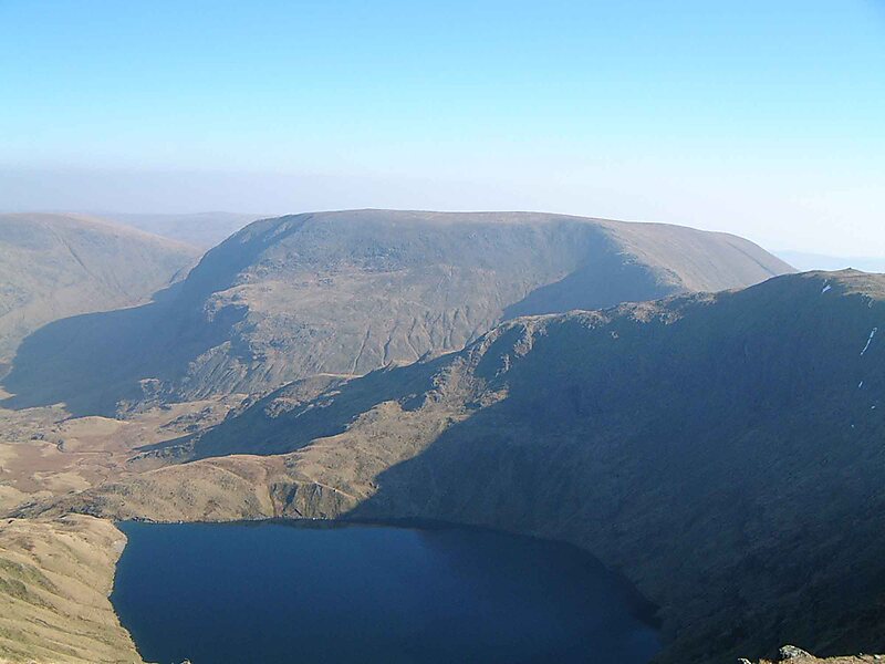
High Street is a fell in the English Lake District. At 828 metres, its summit is the highest point in the far eastern part of the national… Lire la suite…
peak

Hôtel Riverside

High Street
2h

Café du Coin
45 min
Hôtel Riverside
High Street – Ajouter à ton voyage
Crée un itinéraire de voyage détaillé avec des itinéraires intelligents, des estimations de temps et tout ce dont tu as besoin pour un voyage parfait.


+ de 3 M de téléchargements · 4,6 étoiles · 15 ans de planification de voyages


High Street is a fell in the English Lake District. At 828 metres, its summit is the highest point in the far eastern part of the national park. The fell is named after the Roman road that ran over the summit.
Source: Wikipedia
Plus d'informations et contact
Adresse CA11 0, United Kingdom
Coordonnées 54°29'30.038" N, 2°51'53.532" W
Hôtel Riverside
High Street
2h
Café du Coin
45 min
Hôtel Riverside
High Street – Ajouter à ton voyage
Crée un itinéraire de voyage détaillé avec des itinéraires intelligents, des estimations de temps et tout ce dont tu as besoin pour un voyage parfait.
+ de 3 M de téléchargements · 4,6 étoiles · 15 ans de planification de voyages