



Köppel
The Köppel, at 540.2 m above sea level, is the second highest point in the Montabaur Heights, an elongated hill ridge in the Lower… Lire la suite…


Köppel – Ajouter à ton voyage
Crée un itinéraire de voyage détaillé avec des itinéraires intelligents, des estimations de temps et tout ce dont tu as besoin pour un voyage parfait.




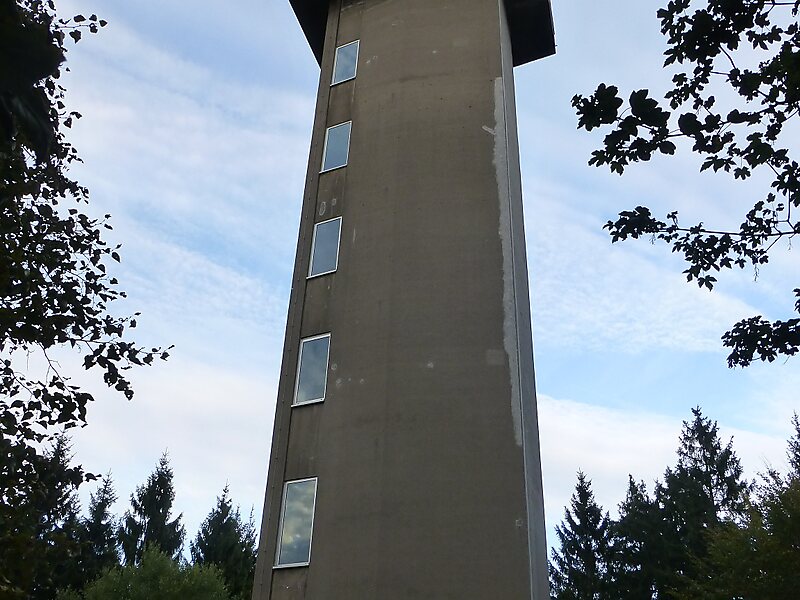
The Köppel, at 540.2 m above sea level, is the second highest point in the Montabaur Heights, an elongated hill ridge in the Lower Westerwald in Germany. It is second only to the nearby Alarmstange and lies on the boundary between Montabaur and Dernbach in the county of Westerwaldkreis in the state of Rhineland-Palatinate. At the summit is the Köppel viewing tower.
Source: Wikipedia
Plus d'informations et contact
Köppel – Ajouter à ton voyage
Crée un itinéraire de voyage détaillé avec des itinéraires intelligents, des estimations de temps et tout ce dont tu as besoin pour un voyage parfait.