



Cape Nagasaki-bana
Nagasakibana, also known as Cape Nagasakibana or Cape Ryūgū, is the most southern headland on the Satsuma Peninsula at the entrance to… Lire la suite…
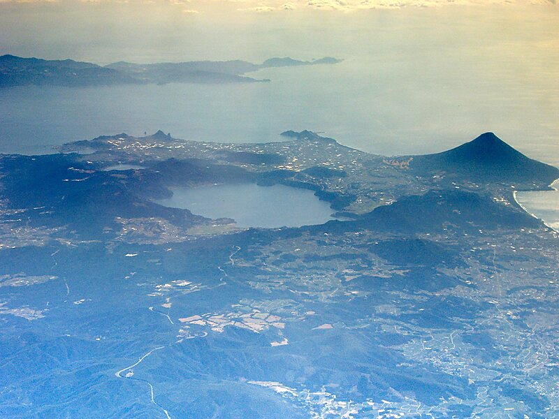

Cape Nagasaki-bana – Tu prépares un voyage ?
Crée ton itinéraire jour par jour dans l'application Tripomatic.


Nagasakibana, also known as Cape Nagasakibana or Cape Ryūgū, is the most southern headland on the Satsuma Peninsula at the entrance to Kagoshima Bay. The cape has a lighthouse, is the location of a statue of Urashima Tarō, the fisherman in a Japanese fairy tale, and the Ryūgū Shrine.
Source: Wikipedia
Plus d'informations et contact
Adresse Japan
Coordonnées 31°9'20.763" N, 130°35'11.984" E
view pointcape

Hôtel Riverside

Cape Nagasaki-bana
2h

Café du Coin
45 min
Hôtel Riverside
Cape Nagasaki-bana – Ajouter à ton voyage
Crée un itinéraire de voyage détaillé avec des itinéraires intelligents, des estimations de temps et tout ce dont tu as besoin pour un voyage parfait.
3 M+ téléchargements · 4,6 étoiles · 15 ans de planification de voyage

