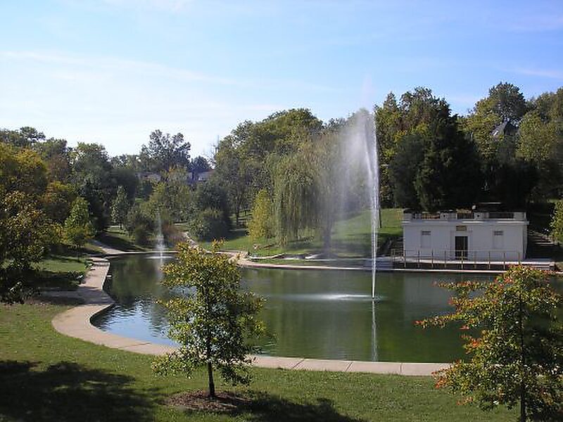
Clifton Heights Park
Clifton Heights is a neighborhood of St. Louis, Missouri, US, located along the southwest border of the city and highlighted by a park —… Read more…


Add Clifton Heights Park to Your Trip
Create a detailed travel itinerary with smart routing, time estimates, and everything you need for a perfect trip.


Clifton Heights is a neighborhood of St. Louis, Missouri, US, located along the southwest border of the city and highlighted by a park — Clifton Park — with a playground and a lake.
The neighborhood is mostly residential, with a history dating back to the early 19th century and houses of varying architectural styles, including some Victorian and numerous Arts and Crafts homes. The curving streets surrounding the park and the hills that slope downward toward I-44 are somewhat unusual for St. Louis City, and give the neighborhood a distinctive feeling. Bounded on the north and west by I-44, on the east by Hampton Ave., and on the south by Arsenal St., Clifton Heights is located in southwest St. Louis.
Source: Wikipedia
More Information and Contact
Add Clifton Heights Park to Your Trip
Create a detailed travel itinerary with smart routing, time estimates, and everything you need for a perfect trip.