
Freetown-Fall River State Forest
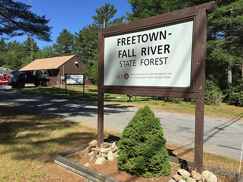
The Freetown-Fall River State Forest is a publicly owned forest covering more than 5,000 acres in the city of Fall River and the towns of… En savoir plus…


Freetown-Fall River State Forest – Ajoute à ton voyage
Crée un itinéraire détaillé avec routage intelligent, estimations de temps et tout ce dont tu as besoin pour un voyage parfait.




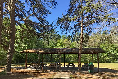
The Freetown-Fall River State Forest is a publicly owned forest covering more than 5,000 acres in the city of Fall River and the towns of Freetown and Lakeville in the state of Massachusetts. The forest lies mostly in the center of the town of Freetown dividing Assonet, East Freetown, and Fall River's northernmost boundary. The forest land includes Profile Rock, a granite outcropping which local Native Americans believe to be the image of Chief Massasoit, and a 227-acre Wampanoag reservation. The forest is owned by the Commonwealth of Massachusetts and operated by the Department of Conservation and Recreation with headquarters in Assonet.
Source: Wikipedia
Plus d'informations et contact
Freetown-Fall River State Forest – Ajoute à ton voyage
Crée un itinéraire détaillé avec routage intelligent, estimations de temps et tout ce dont tu as besoin pour un voyage parfait.