
Hüggel
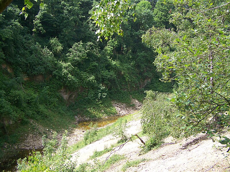
The Hüggel is a ridge, up to 225.6 m above sea level, about 5 kilometres long and 1 kilometre wide, near Hasbergen in the Lower Saxon… En savoir plus…
peak
Ramsch / Public domain

Ramsch

Ramsch

Christianrueger

Ramsch

Christianrueger

Riverside Hotel

Hüggel
2h

Corner Café
45 min
Riverside Hotel
Hüggel – Ajoute à ton voyage
Crée un itinéraire détaillé avec routage intelligent, estimations de temps et tout ce dont tu as besoin pour un voyage parfait.


3M+ téléchargements · 4,6 étoiles · 15 ans de planification de voyages


The Hüggel is a ridge, up to 225.6 m above sea level, about 5 kilometres long and 1 kilometre wide, near Hasbergen in the Lower Saxon district of Osnabrück in central Germany. It is the highest point of the Osnabrück Uplands. This Upper Carboniferous outcrop is part of the Ibbenbüren Coalfield.
Source: Wikipedia
Plus d'informations et contact
Wikipedia en.wikipedia.org/wiki/H%C3%BCggel
Adresse Schau ins Land, 49205, Germany
Coordonnées 52°13'12.947" N, 7°58'31.703" E
Riverside Hotel
Hüggel
2h
Corner Café
45 min
Riverside Hotel
Hüggel – Ajoute à ton voyage
Crée un itinéraire détaillé avec routage intelligent, estimations de temps et tout ce dont tu as besoin pour un voyage parfait.
3M+ téléchargements · 4,6 étoiles · 15 ans de planification de voyages