
Kahlheid
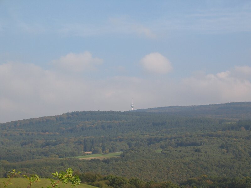
The Kahlheid near Morscheid-Riedenburg in the Idar Forest is a mountain, 766 m above sea level, on the boundary between the counties of … En savoir plus…


Kahlheid – Ajoute à ton voyage
Crée un itinéraire détaillé avec routage intelligent, estimations de temps et tout ce dont tu as besoin pour un voyage parfait.




The Kahlheid near Morscheid-Riedenburg in the Idar Forest is a mountain, 766 m above sea level, on the boundary between the counties of Birkenfeld and Bernkastel-Wittlich in the German state of Rhineland-Palatinate.
The mountain is the third highest in Rhineland-Palatinate after the Erbeskopf, 2.6 km to the southwest and its southwestern subpeak, the Springenkopf, in the Schwarzwälder Hochwald, and the peak of An den zwei Steinen, 12 km to the northeast, also in the Idar Forest.
Source: Wikipedia
Plus d'informations et contact
Kahlheid – Ajoute à ton voyage
Crée un itinéraire détaillé avec routage intelligent, estimations de temps et tout ce dont tu as besoin pour un voyage parfait.