
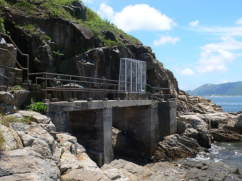
Tung Lung Chau Prehistoric Stone Carving
Tung Lung Chau, previously known as Nam Tong Island or Nam Fat Tong is an island located off the tip of the Clear Water Bay Peninsula in… En savoir plus…


Tung Lung Chau Prehistoric Stone Carving – Ajoute à ton voyage
Crée un itinéraire détaillé avec routage intelligent, estimations de temps et tout ce dont tu as besoin pour un voyage parfait.




Tung Lung Chau, previously known as Nam Tong Island or Nam Fat Tong is an island located off the tip of the Clear Water Bay Peninsula in the New Territories of Hong Kong. It is also referred to by Hong Kong people as Tung Lung To or Tung Lung Island. The island is largely uninhabited. Administratively, it belongs to Sai Kung District.
Source: Wikipedia
Plus d'informations et contact
Tung Lung Chau Prehistoric Stone Carving – Ajoute à ton voyage
Crée un itinéraire détaillé avec routage intelligent, estimations de temps et tout ce dont tu as besoin pour un voyage parfait.