



Köppel
The Köppel, at 540.2 m above sea level, is the second highest point in the Montabaur Heights, an elongated hill ridge in the Lower… Tovább…


Köppel – Hozzáadás az utazáshoz
Készíts részletes útvonalat okos útvonaltervezéssel, időbecslésekkel és mindennel, ami a tökéletes utazáshoz szükséges.




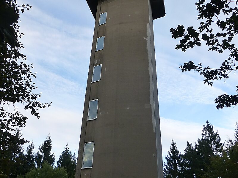
The Köppel, at 540.2 m above sea level, is the second highest point in the Montabaur Heights, an elongated hill ridge in the Lower Westerwald in Germany. It is second only to the nearby Alarmstange and lies on the boundary between Montabaur and Dernbach in the county of Westerwaldkreis in the state of Rhineland-Palatinate. At the summit is the Köppel viewing tower.
Source: Wikipedia
További információk és kapcsolat
Köppel – Hozzáadás az utazáshoz
Készíts részletes útvonalat okos útvonaltervezéssel, időbecslésekkel és mindennel, ami a tökéletes utazáshoz szükséges.