



Malin Head
Malin Head is the most northerly point of mainland Ireland, located in the townland of Ardmalin on the Inishowen peninsula in County… Tovább…


Malin Head – Utazást tervezel?
Állítsd össze a napi útvonalad a Tripomatic alkalmazásban.


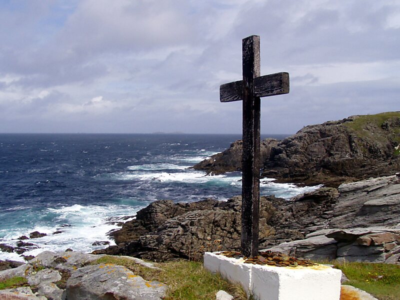
Malin Head is the most northerly point of mainland Ireland, located in the townland of Ardmalin on the Inishowen peninsula in County Donegal. The head's northernmost point is called Dunalderagh at latitude 55.38ºN. It is about 16 kilometres north of the village of Malin. The island of Inishtrahull is further north, about 10 km northeast of the headland. Malin Head gives its name to the Malin sea area. There is a weather station on the head, which is one of 22 such stations whose reports are broadcast as part of the BBC Shipping Forecast. A tower built in 1805 is on Altnadarrow, also known locally as the Tower Hill.
Ptolemy's Geography described a point called Βορειον which probably referred to Malin Head.
Source: Wikipedia
További információk és kapcsolat


Malin Head – Hozzáadás az utazáshoz
Készíts részletes útvonalat okos útvonaltervezéssel, időbecslésekkel és mindennel, ami a tökéletes utazáshoz szükséges.


