



Trail Ridge Road/Beaver Meadow National Scenic Byway
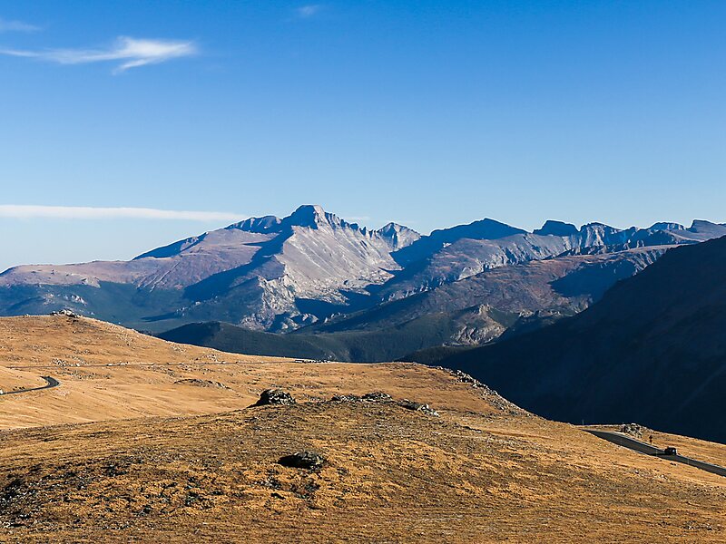
Trail Ridge Road is the name for the 48-mile stretch of U.S. Highway 34 that traverses Rocky Mountain National Park from Estes Park,… Leggi di più…


Trail Ridge Road/Beaver Meadow National Scenic Byway – Aggiungi al tuo viaggio
Crea un itinerario di viaggio dettagliato con percorsi intelligenti, stime dei tempi e tutto ciò che serve per un viaggio perfetto.




Trail Ridge Road is the name for the 48-mile stretch of U.S. Highway 34 that traverses Rocky Mountain National Park from Estes Park, Colorado in the east to Grand Lake, Colorado in the west. Together with the connecting 6.9-mile Beaver Meadow Road, Trail Ridge Road forms the 55-mile Trail Ridge Road/Beaver Meadow National Scenic Byway, an All-American Road. With a high point at 12,183 feet elevation, Trail Ridge Road is the highest continuous paved road in North America. The higher portion of Trail Ridge Road is closed from October to May.
Source: Wikipedia
Maggiori informazioni e contatti
Trail Ridge Road/Beaver Meadow National Scenic Byway – Aggiungi al tuo viaggio
Crea un itinerario di viaggio dettagliato con percorsi intelligenti, stime dei tempi e tutto ciò che serve per un viaggio perfetto.

