



Chanctonbury Ring
Chanctonbury Ring is a prehistoric hill fort atop Chanctonbury Hill on the South Downs, on the border of the civil parishes of Washington… Leggi di più…


Chanctonbury Ring – Stai pianificando un viaggio?
Costruisci il tuo itinerario giorno per giorno nell'app Tripomatic.


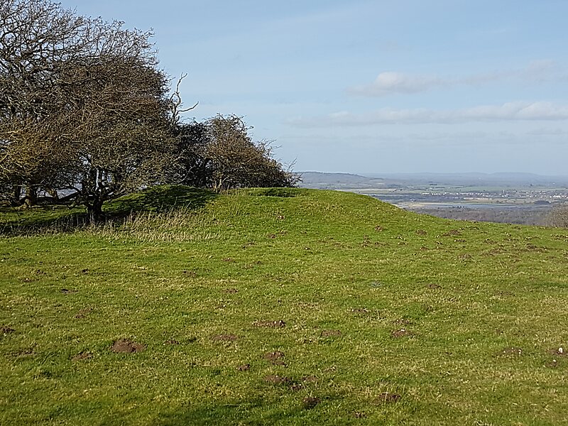
Chanctonbury Ring is a prehistoric hill fort atop Chanctonbury Hill on the South Downs, on the border of the civil parishes of Washington and Wiston in the English county of West Sussex. A ridgeway, now part of the South Downs Way, runs along the hill. It forms part of an ensemble of associated historical features created over a span of more than 2,000 years, including round barrows dating from the Bronze Age to the Saxon periods and dykes dating from the Iron Age and Roman periods.
Consisting of a roughly circular low earthen rampart surrounded by a ditch, Chanctonbury Ring is thought to date to the late Bronze Age or early Iron Age. The purpose of the structure is unknown but it could have filled a variety of roles, including a defensive position, a cattle enclosure or even a religious shrine.
Source: Wikipedia
Maggiori informazioni e contatti


Chanctonbury Ring – Aggiungi al tuo viaggio
Crea un itinerario di viaggio dettagliato con percorsi intelligenti, stime dei tempi e tutto ciò che serve per un viaggio perfetto.

