
Saaler Bodden
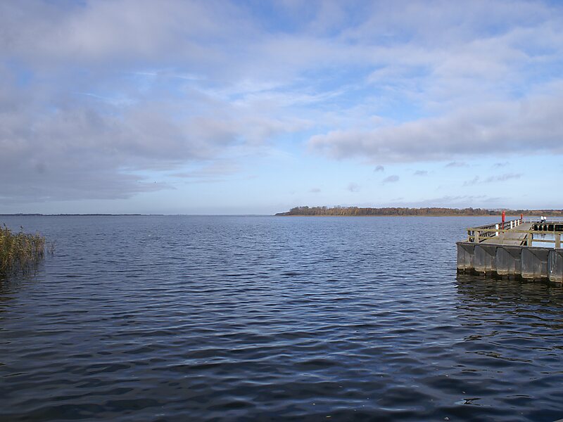
The Saaler Bodden forms the southwestern part of the Darss-Zingst Bodden Chain and lies east of the Fischland peninsula about 30 kilometres… Leggi di più…


Aggiungi Saaler Bodden Al Tuo Viaggio
Crea un itinerario di viaggio dettagliato con percorsi intelligenti, stime dei tempi e tutto ciò di cui hai bisogno per un viaggio perfetto.




The Saaler Bodden forms the southwestern part of the Darss-Zingst Bodden Chain and lies east of the Fischland peninsula about 30 kilometres northeast of Rostock. Its average depth is around two metres, which restricts angling and the use of pleasure craft. It is a lagoon-like stretch of water known as a bodden, which is typical of this part of the Baltic coastline. South of the Saaler Bodden is the town of Ribnitz-Damgarten, which is divided into two by the mouth of the 72 kilometre long Recknitz river. This southern part of the bodden is called the Lake Ribnitz.
Apart from the Recknitz near Damgarten, the other streams that empty into the Ribnitzer See are the Klosterbach near Ribnitz and Körkwitzer Bach and Fischergraben near Körkwitz. A stream called the Saaler Bach discharges into the bodden near Saal.
Source: Wikipedia
Maggiori informazioni e contatti
Aggiungi Saaler Bodden Al Tuo Viaggio
Crea un itinerario di viaggio dettagliato con percorsi intelligenti, stime dei tempi e tutto ciò di cui hai bisogno per un viaggio perfetto.
