



Cerro de los Siete Colores
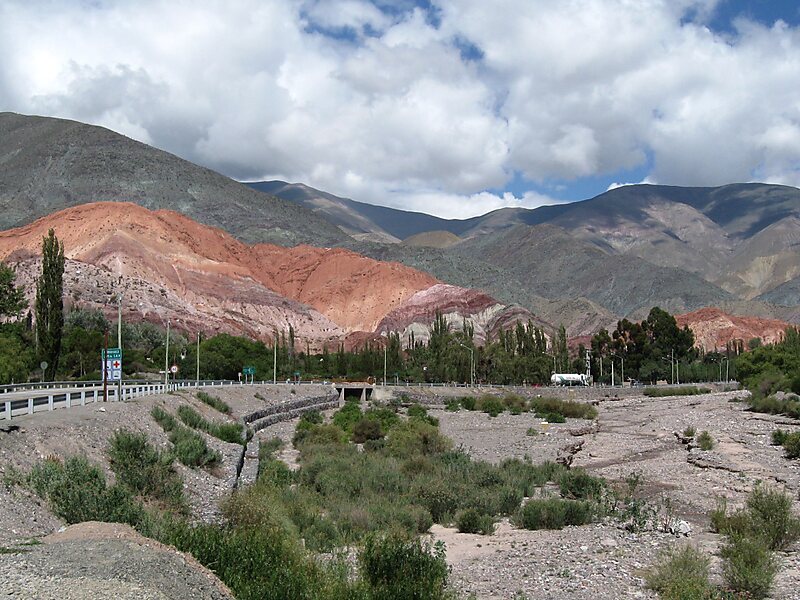
Cerro de los Siete Colores is one of the hills bordering the Quebrada de Purmamarca which is in turn is a western branch of the Quebrada de… Leggi di più…
Cerro de los Siete Colores – Stai pianificando un viaggio?
Costruisci il tuo itinerario giorno per giorno nell'app Tripomatic.


Cerro de los Siete Colores is one of the hills bordering the Quebrada de Purmamarca which is in turn is a western branch of the Quebrada de Humahuaca up to Cuesta del Lipán, in Jujuy Province, Argentina.
Its unique color range is the product of a complex geological history including marine sediments, lake and river movements elevated with the movement of the tectonic plates. Evidence of this history can be seen in the numerous fossils found at the site.
The village of Purmamarca is at its feet and the two form one of the most recognized landscapes of Argentine Northwest and all of Argentina.
Source: Wikipedia
Maggiori informazioni e contatti


Cerro de los Siete Colores – Aggiungi al tuo viaggio
Crea un itinerario di viaggio dettagliato con percorsi intelligenti, stime dei tempi e tutto ciò che serve per un viaggio perfetto.

