
Kahlheid
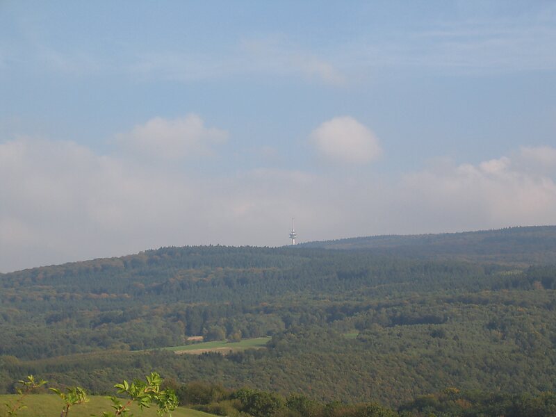
The Kahlheid near Morscheid-Riedenburg in the Idar Forest is a mountain, 766 m above sea level, on the boundary between the counties of … Leggi di più…


Kahlheid – Aggiungi Al Tuo Viaggio
Crea un itinerario di viaggio dettagliato con percorsi intelligenti, stime dei tempi e tutto ciò di cui hai bisogno per un viaggio perfetto.




The Kahlheid near Morscheid-Riedenburg in the Idar Forest is a mountain, 766 m above sea level, on the boundary between the counties of Birkenfeld and Bernkastel-Wittlich in the German state of Rhineland-Palatinate.
The mountain is the third highest in Rhineland-Palatinate after the Erbeskopf, 2.6 km to the southwest and its southwestern subpeak, the Springenkopf, in the Schwarzwälder Hochwald, and the peak of An den zwei Steinen, 12 km to the northeast, also in the Idar Forest.
Source: Wikipedia
Ulteriori Informazioni E Contatti
Kahlheid – Aggiungi Al Tuo Viaggio
Crea un itinerario di viaggio dettagliato con percorsi intelligenti, stime dei tempi e tutto ciò di cui hai bisogno per un viaggio perfetto.