



Uritorco
Cerro Uritorco is a mountain located next to the Calabalumba River, in the city of Capilla del Monte, in the northwest of the province of… Leggi di più…


Uritorco – Stai pianificando un viaggio?
Costruisci il tuo itinerario giorno per giorno nell'app Tripomatic.


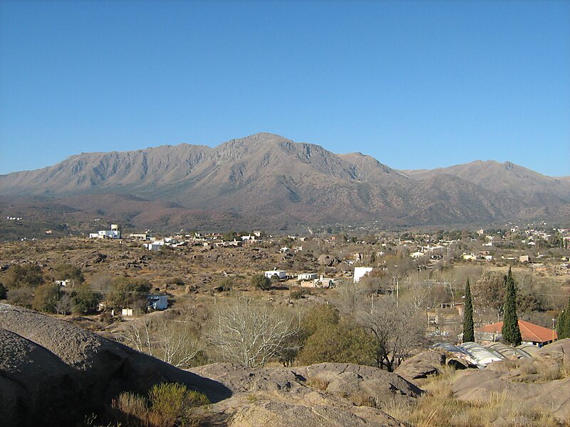
Cerro Uritorco is a mountain located next to the Calabalumba River, in the city of Capilla del Monte, in the northwest of the province of Córdoba, Argentina. It is the highest peak of the Sierras Chicas mountain range. It is 3 km away from the city center and its summit is at 1,949 m above mean sea level. The name Uritu urqu means "Male Hill" in Santiago del Estero Quichua, which is, however, not the aboriginal Comechingón language.
Cerro Uritorco is under a private administration and it can be accessed by the public for a fee. It is considered a medium-difficulty ascent, taking around three hours to reach the top, provided the appropriate hiking path is followed.
Source: Wikipedia
Maggiori informazioni e contatti


Uritorco – Aggiungi al tuo viaggio
Crea un itinerario di viaggio dettagliato con percorsi intelligenti, stime dei tempi e tutto ciò che serve per un viaggio perfetto.

