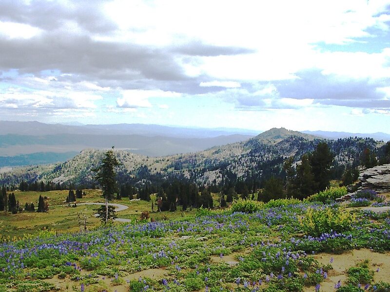
Boise National Forest is a National Forest covering 2,203,703 acres of the U.S. state of Idaho. Created on July 1, 1908, from part of Sawtooth National Forest, it is managed by the U.S. Forest Service as five units: the Cascade, Emmett, Idaho City, Lowman, and Mountain Home ranger districts.The Idaho Batholith underlies most of Boise National Forest, forming the forest's Boise, Salmon River, and West mountain ranges; the forest reaches a maximum elevation of 9,730 feet on Steel Mountain. Common land cover includes sagebrush steppe and spruce-fir forests; there are 9,600 miles of streams and rivers and 15,400 acres of lakes and reservoirs. Boise National Forest contains 75 percent of the known populations of Sacajawea's bitterroot, a flowering plant endemic to Idaho.
The Shoshone people occupied the forest before European settlers arrived in the early 19th century. Many of the early settlers were trappers and prospectors before gold was discovered in 1862.

Wikipedia https://en.wikipedia.org/wiki/Boise_National_Forest
U.S. Department of Agriculture http://www.fs.usda.gov/boise/
Phone +1 208 373 4100
Address N Sawyer St, Cascade, ID 83611, USA
Coordinates 44°5'44.356" N -115°37'7.389" E