
Erving State Forest
Erving State Forest is a publicly owned forest with recreational features located north of the Millers River in the towns of Erving,… Leggi di più…


Erving State Forest – Aggiungi Al Tuo Viaggio
Crea un itinerario di viaggio dettagliato con percorsi intelligenti, stime dei tempi e tutto ciò di cui hai bisogno per un viaggio perfetto.




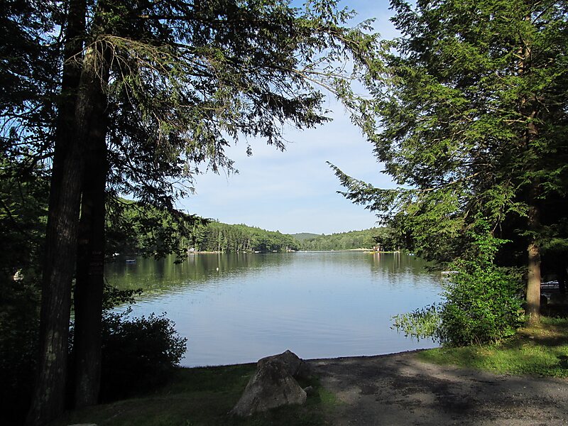
Erving State Forest is a publicly owned forest with recreational features located north of the Millers River in the towns of Erving, Warwick, and Orange, Massachusetts. The property is centered on Laurel Lake, a 51-acre body of water that has been a popular recreational destination since the 1930s. The forest's network of roads and hiking trails were largely created by the Civilian Conservation Corps. The forest is managed by the Department of Conservation and Recreation.
Source: Wikipedia
Ulteriori Informazioni E Contatti
Erving State Forest – Aggiungi Al Tuo Viaggio
Crea un itinerario di viaggio dettagliato con percorsi intelligenti, stime dei tempi e tutto ciò di cui hai bisogno per un viaggio perfetto.