Roosevelt National Forest
Larimer County, 🇺🇸 United States
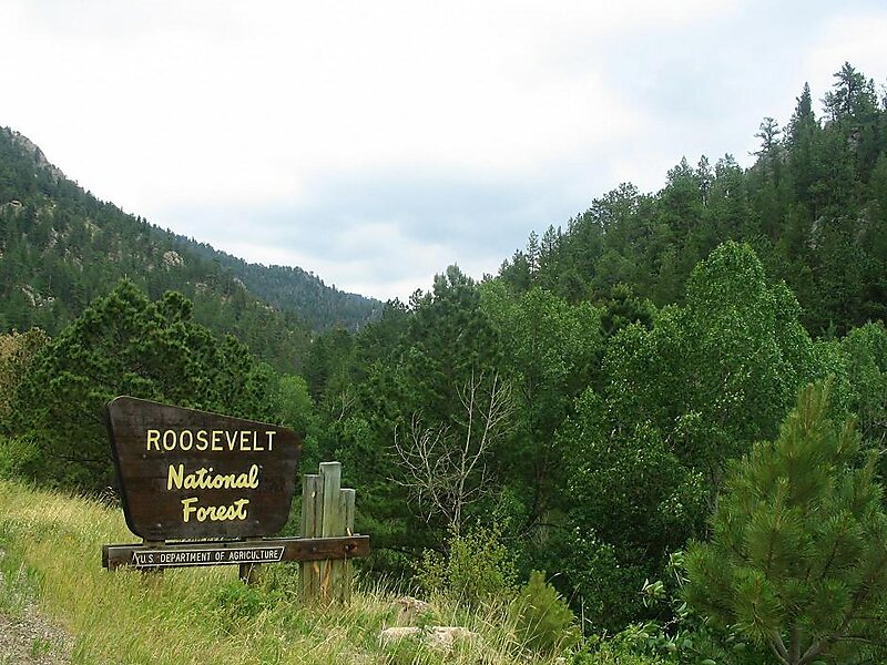
The Roosevelt National Forest is a National Forest located in north central Colorado.
protected area
Sethant / Public domain

Riverside Hotel

Roosevelt National Forest
2h

Corner Café
45 min
Riverside Hotel
Add Roosevelt National Forest to Your Trip
Create a detailed travel itinerary with smart routing, time estimates, and everything you need for a perfect trip.
3M+ downloads · 4.6 stars · 15 years of trip planning


More Information and Contact
Official Website www.fs.usda.gov/arp
Address 80512, United States
Coordinates 40°33'4.758" N, 105°35'10.836" W
Riverside Hotel
Roosevelt National Forest
2h
Corner Café
45 min
Riverside Hotel
Add Roosevelt National Forest to Your Trip
Create a detailed travel itinerary with smart routing, time estimates, and everything you need for a perfect trip.
3M+ downloads · 4.6 stars · 15 years of trip planning