Stöcklewald
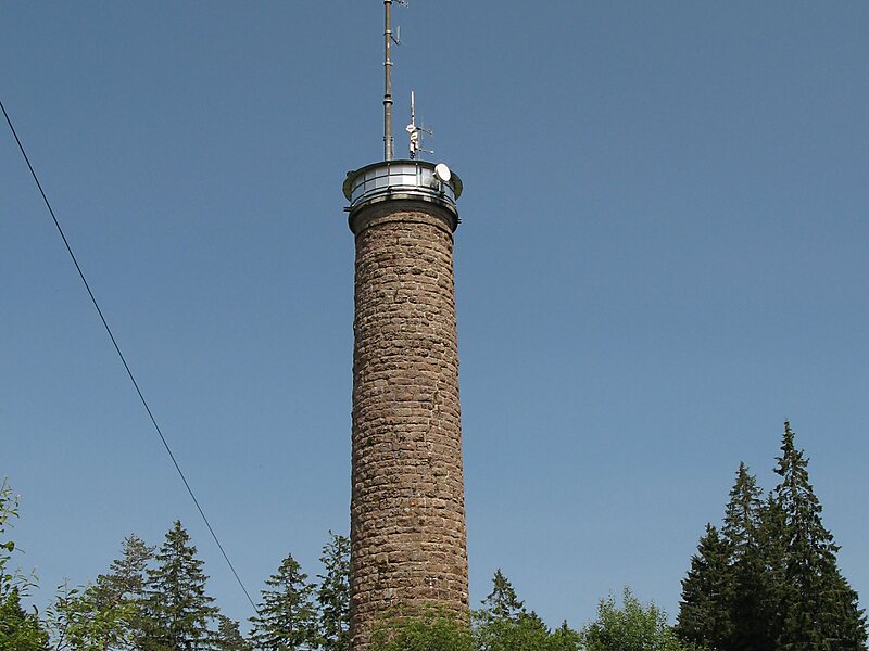
The Stöcklewald is a mountain, 1,068.2 m above sea level, in the southern part of the Central Black Forest in Germany between the towns of… Read more…


Add Stöcklewald to Your Trip
Create a detailed travel itinerary with smart routing, time estimates, and everything you need for a perfect trip.


The Stöcklewald is a mountain, 1,068.2 m above sea level, in the southern part of the Central Black Forest in Germany between the towns of Furtwangen and Triberg, each about 5 kilometres distant, in the county of Schwarzwald-Baar-Kreis. Towards the north, the Black Forest only exceeds this height again in the area of the Schliffkopf and the Hornisgrinde.
Source: Wikipedia
More Information and Contact
Add Stöcklewald to Your Trip
Create a detailed travel itinerary with smart routing, time estimates, and everything you need for a perfect trip.