



Mt. Myojingatake
Mount Myōjin or Myōjin-ga-take is a mountain with an altitude of 1,169 meters on the border of Minamiashigara and Hakone, Kanagawa, as one… 자세히 읽기…
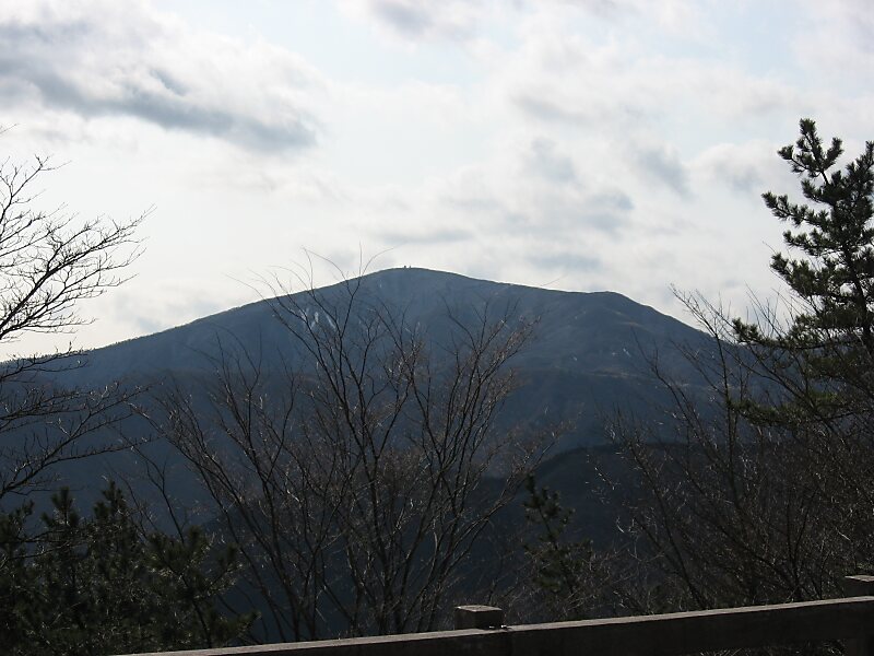


Mt. Myojingatake – 여행을 계획 중이신가요?
Tripomatic 앱에서 일자별 일정을 만들어 보세요.


Mount Myōjin or Myōjin-ga-take is a mountain with an altitude of 1,169 meters on the border of Minamiashigara and Hakone, Kanagawa, as one of the ancient sommas on Mount Hakone's old outer rim. It is part of Fuji-Hakone-Izu National Park.
Mount Myōjin has two major trails from the eastern and western sides, and is the hikers' most popular mountain in the Mount Hakone area, next to Mount Kintoki. There is also a long trail from Mount Myōjō via Mount Myōjin to Mount Kintoki.
Source: Wikipedia
추가 정보 및 연락처


Mt. Myojingatake – 여행에 추가
스마트 경로 안내, 소요 시간 예측 등 완벽한 여행에 필요한 모든 기능을 통해 상세한 여행 일정을 만들어 보세요.

