



Trail Ridge Road/Beaver Meadow National Scenic Byway
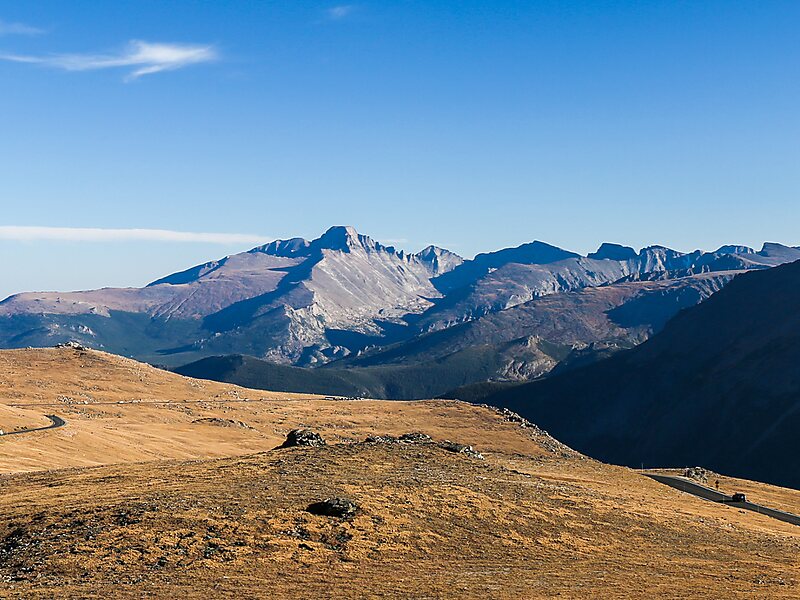
Trail Ridge Road is the name for the 48-mile stretch of U.S. Highway 34 that traverses Rocky Mountain National Park from Estes Park,… 자세히 읽기…


Trail Ridge Road/Beaver Meadow National Scenic Byway – 여행에 추가
스마트 경로 안내, 소요 시간 예측 등 완벽한 여행에 필요한 모든 기능을 통해 상세한 여행 일정을 만들어 보세요.




Trail Ridge Road is the name for the 48-mile stretch of U.S. Highway 34 that traverses Rocky Mountain National Park from Estes Park, Colorado in the east to Grand Lake, Colorado in the west. Together with the connecting 6.9-mile Beaver Meadow Road, Trail Ridge Road forms the 55-mile Trail Ridge Road/Beaver Meadow National Scenic Byway, an All-American Road. With a high point at 12,183 feet elevation, Trail Ridge Road is the highest continuous paved road in North America. The higher portion of Trail Ridge Road is closed from October to May.
Source: Wikipedia
추가 정보 및 연락처
Trail Ridge Road/Beaver Meadow National Scenic Byway – 여행에 추가
스마트 경로 안내, 소요 시간 예측 등 완벽한 여행에 필요한 모든 기능을 통해 상세한 여행 일정을 만들어 보세요.

