



Grevelingen
Grevelingen or Grevelingenmeer is a closed off part of the Rhine-Meuse estuary on the border of the Dutch provinces of South Holland and… 자세히 읽기…


Grevelingen – 여행에 추가
스마트 경로 안내, 소요 시간 예측 등 완벽한 여행에 필요한 모든 기능을 통해 상세한 여행 일정을 만들어 보세요.




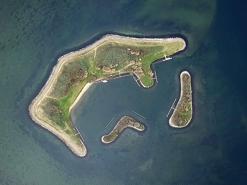
Grevelingen or Grevelingenmeer is a closed off part of the Rhine-Meuse estuary on the border of the Dutch provinces of South Holland and Zeeland.
It is situated between the islands of Goeree-Overflakkee and Schouwen-Duiveland and was closed off as part of the Delta Works, a huge engineering project designed to protect the southwestern part of the Netherlands from flooding. The Brouwersdam, a dike connecting the two islands on the west, closes off the Grevelingen from the North Sea. The Grevelingendam, the dike on the east, blocks the inflow of Rhine and Meuse water.
Since its closure in 1971 the saltwater of the Grevelingen slowly started to become brackish due to rainwater and excess polderwater from the islands, but the Dutch changed their mind and decided that they wanted to preserve the saline biotope.
Source: Wikipedia
추가 정보 및 연락처
Grevelingen – 여행에 추가
스마트 경로 안내, 소요 시간 예측 등 완벽한 여행에 필요한 모든 기능을 통해 상세한 여행 일정을 만들어 보세요.