
Cerro Autana
Cerro Autana is a geological formation located at the western portion of the Guiana Shield in the Estado Amazonas, Venezuela near the… 자세히 보기…
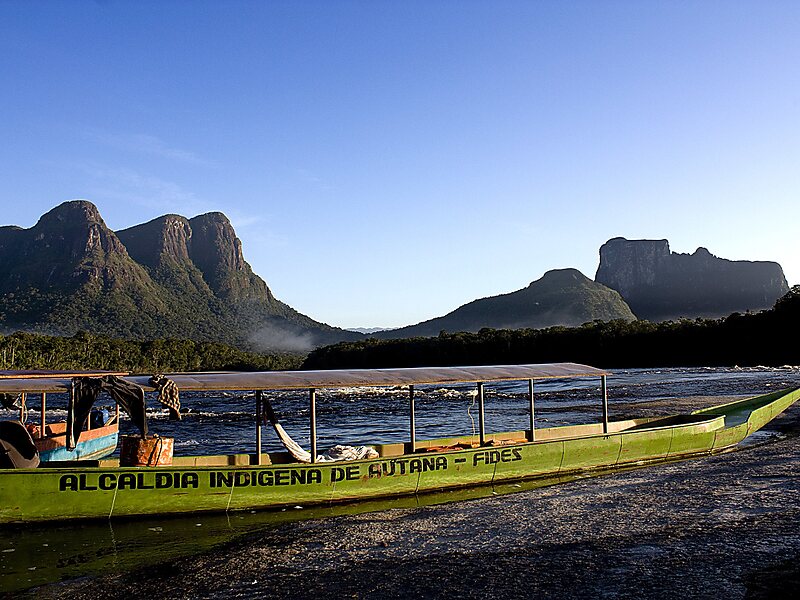


Cerro Autana – 여행에 추가
스마트 경로 안내, 소요 시간 예측 등 완벽한 여행에 필요한 모든 것을 포함한 상세한 여행 일정을 만드세요.




Cerro Autana is a geological formation located at the western portion of the Guiana Shield in the Estado Amazonas, Venezuela near the Colombian border. It is characterized by a narrow base, a flat top, and almost vertical walls. Its top is at approximately 1,220 metres. It belongs to the formations known as tepuis which are characteristic flat-top mountains of the Guiana Shield. Cerro Autana plays the role of the "tree of life" in the oral history and lore of the Piaroa Indians who inhabit the region.
The first Europeans to visit the region around Cerro Autana were Alexander von Humboldt and Aimé Bonpland in 1800. During 1852-1854 Richard Spruce and Alfred Russel Wallace made numerous observations and botanical collections.
Source: Wikipedia
자세한 정보 및 문의
Cerro Autana – 여행에 추가
스마트 경로 안내, 소요 시간 예측 등 완벽한 여행에 필요한 모든 것을 포함한 상세한 여행 일정을 만드세요.