
Mosisberg
The Mosisberg near Hofstätten in the German state of Rhineland-Palatinate is a hill, 608.7 m above sea level, in the central Palatine… 자세히 보기…


Mosisberg – 여행에 추가
스마트 경로 안내, 소요 시간 예측 등 완벽한 여행에 필요한 모든 것을 포함한 상세한 여행 일정을 만드세요.




The Mosisberg near Hofstätten in the German state of Rhineland-Palatinate is a hill, 608.7 m above sea level, in the central Palatine Forest. It has two domes, the eastern one is the summit and is called Langer Kopf and the western high point is the Preußenstein.
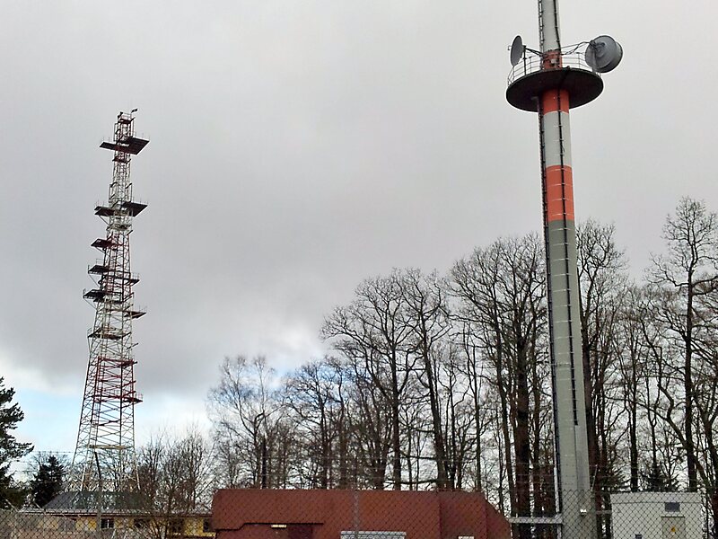
The hill lies on the territory of the hamlet of Hofstätten in the municipality of Wilgartswiesen and is part of the Frankenweide, which is a central massif within the mountain range. On the Langer Kopf there is a former US Air Force radio relay site.
The Mosisberg is the second northernmost of a line of four peaks that exceed 600 m.
Source: Wikipedia
자세한 정보 및 문의
Mosisberg – 여행에 추가
스마트 경로 안내, 소요 시간 예측 등 완벽한 여행에 필요한 모든 것을 포함한 상세한 여행 일정을 만드세요.