



Andasibe-Mantadia National Park
Andasibe-Mantadia National Park is a 155 square kilometre protected area, located about 150 km east of Antananarivo, consisting principally… 자세히 읽기…
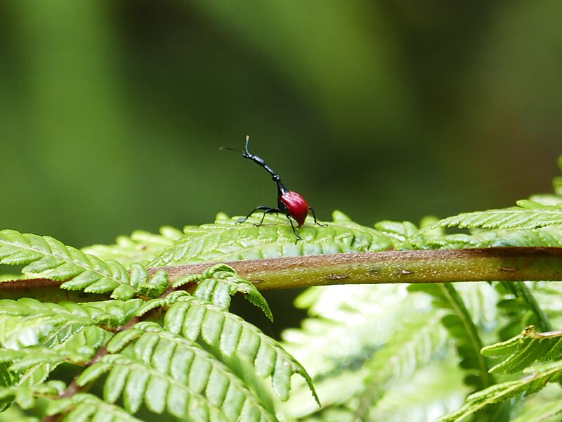


Andasibe-Mantadia National Park – 여행을 계획 중이신가요?
Tripomatic 앱에서 일자별 일정을 만들어 보세요.


Andasibe-Mantadia National Park is a 155 square kilometre protected area, located about 150 km east of Antananarivo, consisting principally of primary growth forest in Alaotra-Mangoro Region in eastern Madagascar. The park's elevation ranges from 800 to 1260 meters, with a humid climate. Average annual precipitation is 1700 mm, with rainfall on 210 days of each year. This rainforest is habitat to a vast species biodiversity, including many endemic rare species and endangered species, including 11 lemur species. The park's two component parts are Mantadia National Park and Analamazoatra Reserve, which is best known for its population of Madagascar's largest lemur, the indri.The national park was nominated in 2007 to become part of the World Heritage Site of Rainforests of the Atsinanana.
Source: Wikipedia
추가 정보 및 연락처


Andasibe-Mantadia National Park – 여행에 추가
스마트 경로 안내, 소요 시간 예측 등 완벽한 여행에 필요한 모든 기능을 통해 상세한 여행 일정을 만들어 보세요.

