
Annapolis Basin
The Annapolis Basin is a sub-basin of the Bay of Fundy, located on the bay's southeastern shores, along the northwestern shore of Nova… 자세히 보기…


Annapolis Basin – 여행에 추가
스마트 경로 안내, 소요 시간 예측 등 완벽한 여행에 필요한 모든 것을 포함한 상세한 여행 일정을 만드세요.




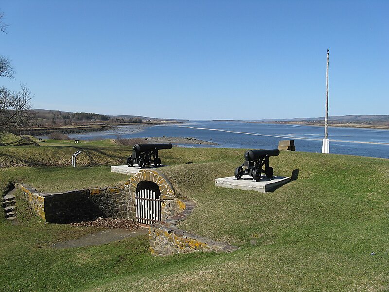
The Annapolis Basin is a sub-basin of the Bay of Fundy, located on the bay's southeastern shores, along the northwestern shore of Nova Scotia and at the western end of the Annapolis Valley.
The basin takes its name from the Annapolis River, which drains into its eastern end at the town of Annapolis Royal. The basin measures approximately 24 kilometres northeast-southwest and 6 kilometres at its widest from northwest to southeast.
It is a sheltered and mostly shallow water body, framed by the ridges of the North Mountain and South Mountain ranges of the Annapolis Valley; the basin is geologically a continuation of the valley floor. A break in the North Mountain range at the northwestern edge of the basin, called Digby Gut, provides an outlet to the Bay of Fundy.
Source: Wikipedia
Annapolis Basin – 여행에 추가
스마트 경로 안내, 소요 시간 예측 등 완벽한 여행에 필요한 모든 것을 포함한 상세한 여행 일정을 만드세요.