
Mercer's Mill Covered Bridge
The Mercer's Mill Covered Bridge or Mercer's Ford Covered Bridge is a covered bridge that spans the East branch of the Octoraro Creek on… 자세히 보기…


Mercer's Mill Covered Bridge – 여행에 추가
스마트 경로 안내, 소요 시간 예측 등 완벽한 여행에 필요한 모든 것을 포함한 상세한 여행 일정을 만드세요.




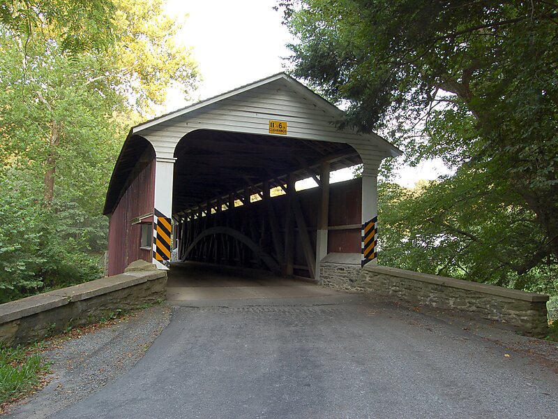
The Mercer's Mill Covered Bridge or Mercer's Ford Covered Bridge is a covered bridge that spans the East branch of the Octoraro Creek on the border between Lancaster County and Chester County in Pennsylvania, United States. A Lancaster County-owned and maintained bridge, its official designation is the East Octoraro #2 Bridge.The bridge has a single span, wooden, double Burr arch trusses design with the addition of steel hanger rods. The deck is made from oak planks. It is painted red, the traditional color of Lancaster County covered bridges, on both the inside and outside. Both approaches to the bridge are painted in the traditional white color. The bridge has a single window on only one side of the bridge.
The bridge's WGCB Numbers are 38-15-19/38-36-38. Added in 1980, it is listed on the National Register of Historic Places as structure number 80003509. It is located at 39°55′53.4″N 75°58′53.4″W.
Source: Wikipedia
자세한 정보 및 문의
Mercer's Mill Covered Bridge – 여행에 추가
스마트 경로 안내, 소요 시간 예측 등 완벽한 여행에 필요한 모든 것을 포함한 상세한 여행 일정을 만드세요.