
Columbia Canal & Riverfront Park
The Columbia Canal is the surviving canal of a series of canals built by the State of South Carolina in 1824 using the labor of indentured… 자세히 보기…


Columbia Canal & Riverfront Park – 여행에 추가
스마트 경로 안내, 소요 시간 예측 등 완벽한 여행에 필요한 모든 것을 포함한 상세한 여행 일정을 만드세요.




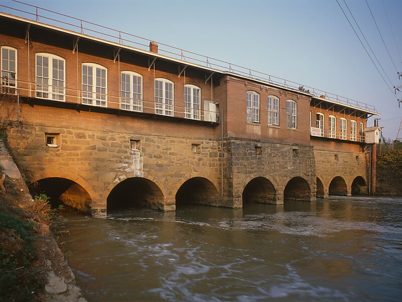
The Columbia Canal is the surviving canal of a series of canals built by the State of South Carolina in 1824 using the labor of indentured Irishmen to provide direct water routes between the upstate settlements and the towns on the Fall Line. It is on the Congaree and Broad rivers in Columbia, South Carolina. It is the focal point of the Riverfront Park in Columbia. The canal is now used to generate hydroelectric power by the South Carolina Electric & Gas Co.The Columbia Canal is on the National Register of Historic Places, No. 79002392. The South Carolina Department of Archives and History has additional pictures and information, and copies of the nomination forms.There are additional pictures, and information available from the Historic American Engineering Record at the Library of Congress.
Source: Wikipedia
자세한 정보 및 문의
Columbia Canal & Riverfront Park – 여행에 추가
스마트 경로 안내, 소요 시간 예측 등 완벽한 여행에 필요한 모든 것을 포함한 상세한 여행 일정을 만드세요.