



Māngere Inlet
Mangere Inlet is an arm of the Manukau Harbour, the southwestern of the two harbours of Auckland, New Zealand and itself an arm of the… 자세히 읽기…
Māngere Inlet – 여행을 계획 중이신가요?
Tripomatic 앱에서 일자별 일정을 만들어 보세요.


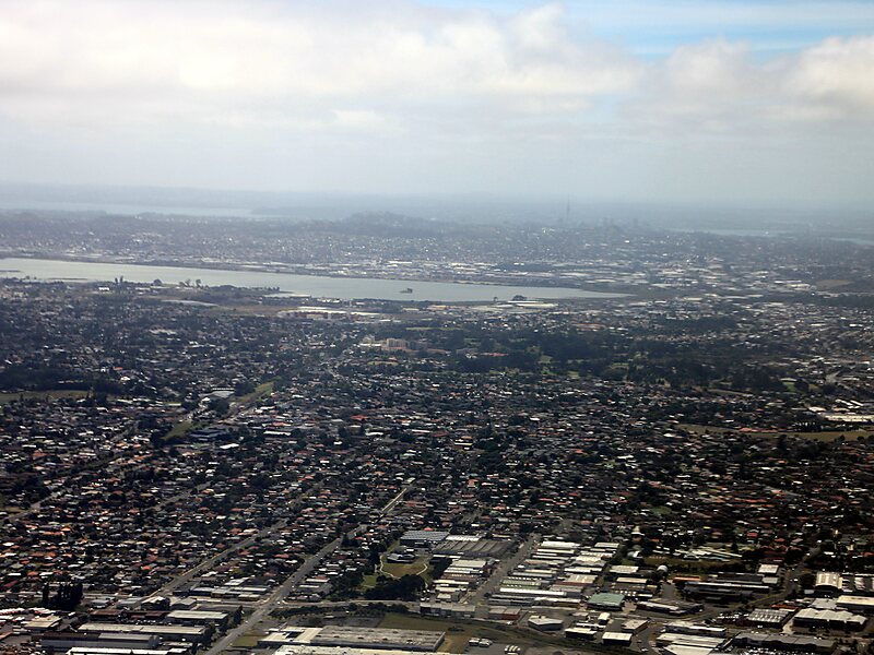
Mangere Inlet is an arm of the Manukau Harbour, the southwestern of the two harbours of Auckland, New Zealand and itself an arm of the Tasman Sea. The inlet lies between the Auckland isthmus and South Auckland, and has a size of 6.6 km2 and a catchment of 34.5 km2, being considered to extend to just west of Onehunga. It is an environment highly modified by land reclamation and human uses, with the northern shoreline especially affected. However, the inlet also acts as a natural sedimentation sink, thus being especially at risk of contamination.
Source: Wikipedia
추가 정보 및 연락처


Māngere Inlet – 여행에 추가
스마트 경로 안내, 소요 시간 예측 등 완벽한 여행에 필요한 모든 기능을 통해 상세한 여행 일정을 만들어 보세요.

