
Ka Iwi State Scenic Shoreline
Makapuʻu is the extreme eastern end of the Island of Oʻahu in the Hawaiian Islands, comprising the remnant of a ridge that rises 647 feet… 자세히 보기…


Ka Iwi State Scenic Shoreline – 여행에 추가
스마트 경로 안내, 소요 시간 예측 등 완벽한 여행에 필요한 모든 것을 포함한 상세한 여행 일정을 만드세요.




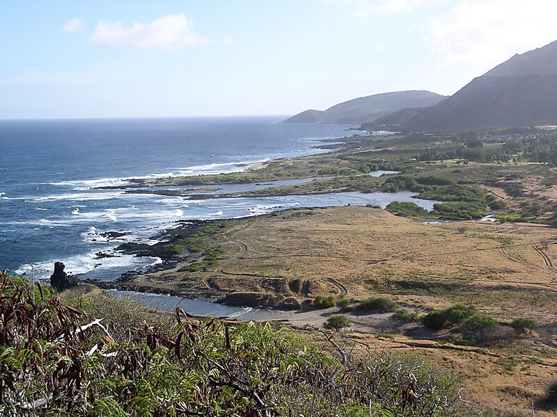
Makapuʻu is the extreme eastern end of the Island of Oʻahu in the Hawaiian Islands, comprising the remnant of a ridge that rises 647 feet above the sea. The cliff at Makapuʻu Point forms the eastern tip and is the site of a prominent lighthouse. The place name of this area, meaning "bulging eye" in Hawaiian, is thought to derive from the name of an image said to have been located in a cave here called Keanaokeakuapōloli. The entire area is quite scenic and a panoramic view is presented at the lookout on Kalanianaole Highway where the roadway surmounts the cliff just before turning south towards leeward Oʻahu and Honolulu.
The Makapuʻu area is reached approximately 2 kilometers east of Waimānalo Beach on Kalanianaole Highway or from the Honolulu side travelling east along the same highway beyond Sandy Beach. The Makapuʻu Point State Wayside Park, a 38-acre roadside park, is about midway up the draw on the right-hand side coming from Hawaiʻi Kai.
Source: Wikipedia
자세한 정보 및 문의
투어 및 활동
Ka Iwi State Scenic Shoreline – 여행에 추가
스마트 경로 안내, 소요 시간 예측 등 완벽한 여행에 필요한 모든 것을 포함한 상세한 여행 일정을 만드세요.

