



Pu'u O Mahuka Heiau
Puʻu o Mahuka Heiau State Historic Site on the North Shore of Oʻahu is the largest heiau on the island, covering 2 acres on a hilltop… 자세히 읽기…


Pu'u O Mahuka Heiau – 여행에 추가
스마트 경로 안내, 소요 시간 예측 등 완벽한 여행에 필요한 모든 기능을 통해 상세한 여행 일정을 만들어 보세요.




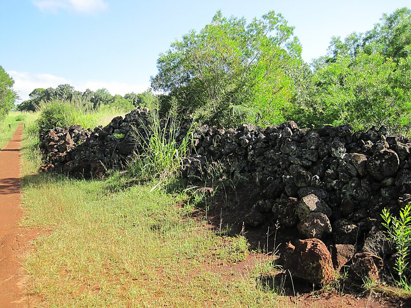
Puʻu o Mahuka Heiau State Historic Site on the North Shore of Oʻahu is the largest heiau on the island, covering 2 acres on a hilltop overlooking Waimea Bay and Waimea Valley. From its commanding heights, sentries could once monitor much of the northern shoreline of Oʻahu, and even spot signal fires from the Wailua Complex of Heiaus on Kauaʻi, with which it had ties. It was designated a National Historic Landmark in 1962, when it became the center of a 4-acre state park. It was added to the National Register of Historic Places in 1966.Puʻu o Mahuka means "Hill of Escape." Hawaiian legends have it that from this point, the volcano goddess Pele leaped from Oʻahu to the next island, Molokaʻi.
The highest of the heiau's three walled enclosures may date to the 17th century, with the lower two enclosures perhaps added during the 18th century. These were times of great conflict, and the upper platform appears to have functioned as a luakini heiau to bring success in war.
Source: Wikipedia
추가 정보 및 연락처
Pu'u O Mahuka Heiau – 여행에 추가
스마트 경로 안내, 소요 시간 예측 등 완벽한 여행에 필요한 모든 기능을 통해 상세한 여행 일정을 만들어 보세요.

