



Saint Croix National Scenic Riverway
The Saint Croix National Scenic Riverway is a federally protected system of riverways located in eastern Minnesota and northwestern… 자세히 읽기…


Saint Croix National Scenic Riverway – 여행에 추가
스마트 경로 안내, 소요 시간 예측 등 완벽한 여행에 필요한 모든 기능을 통해 상세한 여행 일정을 만들어 보세요.




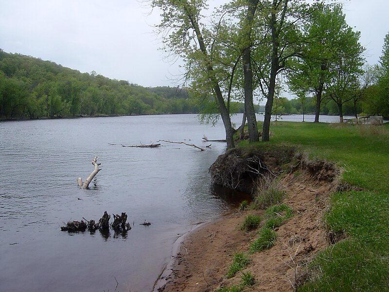
The Saint Croix National Scenic Riverway is a federally protected system of riverways located in eastern Minnesota and northwestern Wisconsin. It protects 252 miles of river, including the St. Croix River, and the Namekagon River, as well as adjacent land along the rivers. The St. Croix National Scenic Riverway is one of the original eight National Wild and Scenic Rivers, largely as a result of legislation by senators Walter Mondale of Minnesota and Gaylord Nelson of Wisconsin. The largest scenic riverway east of the Mississippi River, it lies within parts of eight counties in Wisconsin: Bayfield, Burnett, Douglas, Pierce, Polk, St. Croix, Sawyer, and Washburn; and three in Minnesota: Chisago, Pine, and Washington.
Source: Wikipedia
추가 정보 및 연락처
Saint Croix National Scenic Riverway – 여행에 추가
스마트 경로 안내, 소요 시간 예측 등 완벽한 여행에 필요한 모든 기능을 통해 상세한 여행 일정을 만들어 보세요.