
Kata Tjuta
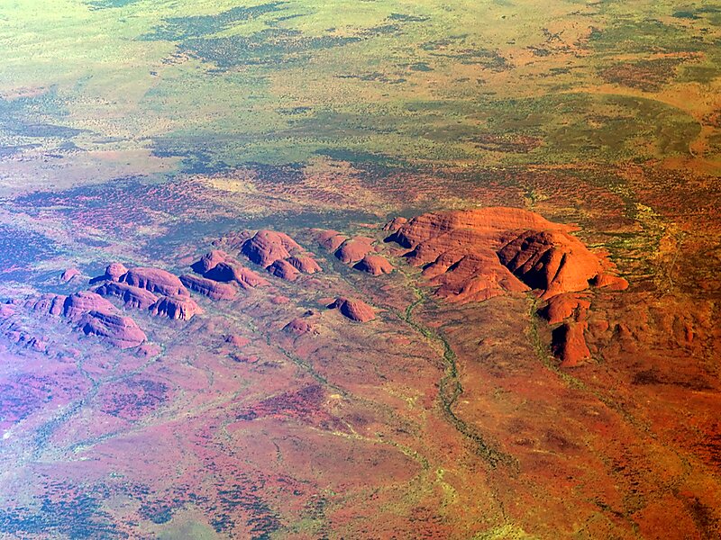
Kata Tjuṯa,, also known as the Olgas, is a group of large, domed rock formations or bornhardts located about 360 km southwest of Alice… 자세히 보기…


Kata Tjuta – 여행에 추가
스마트 경로 안내, 소요 시간 예측 등 완벽한 여행에 필요한 모든 것을 포함한 상세한 여행 일정을 만드세요.




Kata Tjuṯa,, also known as the Olgas, is a group of large, domed rock formations or bornhardts located about 360 km southwest of Alice Springs, in the southern part of the Northern Territory, central Australia. Uluṟu, also known as Ayers Rock, located 25 km to the east, and Kata Tjuṯa form the two major landmarks within the Uluṟu-Kata Tjuṯa National Park. The park is considered sacred to the Aboriginal people of Australia.: 884 The 36 domes that make up Kata Tjuṯa cover an area of 21.68 km2, are composed of conglomerate, a sedimentary rock consisting of cobbles and boulders of varying rock types including granite and basalt, cemented by a matrix of sandstone. The highest dome, Mount Olga, is 1,066 m above sea level, or approximately 546 m above the surrounding plain. Kata Tjuṯa is located at the eastern end of the Docker River Road.
Source: Wikipedia
자세한 정보 및 문의
Kata Tjuta – 여행에 추가
스마트 경로 안내, 소요 시간 예측 등 완벽한 여행에 필요한 모든 것을 포함한 상세한 여행 일정을 만드세요.