
Östliche Karwendelspitze
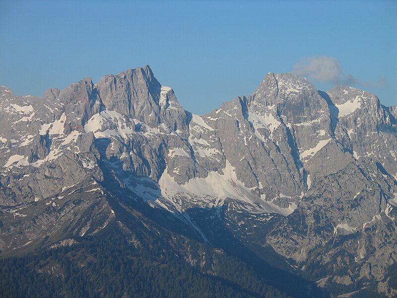
The Östliche Karwendelspitze is a mountain formed from Wetterstein limestone in the Karwendel mountains on the border between Bavaria and… 자세히 보기…


Östliche Karwendelspitze – 여행에 추가
스마트 경로 안내, 소요 시간 예측 등 완벽한 여행에 필요한 모든 것을 포함한 상세한 여행 일정을 만드세요.




The Östliche Karwendelspitze is a mountain formed from Wetterstein limestone in the Karwendel mountains on the border between Bavaria and Tyrol. It is the highest mountain of the Northern Karwendel chain and the highest German peak in the Karwendel. It was first climbed by Hermann von Barth on 4 July 1870.
The summit may be reached in 2½ hours from the Karwendelhaus on a partially trackless mountain tour that requires Alpine experience. The ascent crosses a grass and schrofen covered ridge east of the Vogelkar cirque. Just below the summit there is a UIAA grade I climbing section. There is a challenging descent which is recommended via the Grabenkar cirque through partly rocky and scree-covered terrain with a fast scree run, however it is too laborious for an ascent.
Source: Wikipedia
자세한 정보 및 문의
Östliche Karwendelspitze – 여행에 추가
스마트 경로 안내, 소요 시간 예측 등 완벽한 여행에 필요한 모든 것을 포함한 상세한 여행 일정을 만드세요.