



Köppel
The Köppel, at 540.2 m above sea level, is the second highest point in the Montabaur Heights, an elongated hill ridge in the Lower… 자세히 읽기…
peak

리버사이드 호텔

Köppel
2h

코너 카페
45 min
리버사이드 호텔
Köppel – 여행에 추가
스마트 경로 안내, 소요 시간 예측 등 완벽한 여행에 필요한 모든 기능을 통해 상세한 여행 일정을 만들어 보세요.


300만 회 이상 다운로드 · 평점 4.6점 · 15년의 여행 계획 노하우


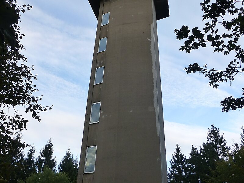
The Köppel, at 540.2 m above sea level, is the second highest point in the Montabaur Heights, an elongated hill ridge in the Lower Westerwald in Germany. It is second only to the nearby Alarmstange and lies on the boundary between Montabaur and Dernbach in the county of Westerwaldkreis in the state of Rhineland-Palatinate. At the summit is the Köppel viewing tower.
Source: Wikipedia
추가 정보 및 연락처
주소 (Unnamed Road), 56428, Germany
좌표 50°25'49.5" N, 7°45'2.322" E
리버사이드 호텔
Köppel
2h
코너 카페
45 min
리버사이드 호텔
Köppel – 여행에 추가
스마트 경로 안내, 소요 시간 예측 등 완벽한 여행에 필요한 모든 기능을 통해 상세한 여행 일정을 만들어 보세요.
300만 회 이상 다운로드 · 평점 4.6점 · 15년의 여행 계획 노하우