



Rakituma / Preservation Inlet
Rakituma / Preservation Inlet is the southernmost fiord in Fiordland National Park and lies on the southwest corner of the South Island of… 자세히 읽기…
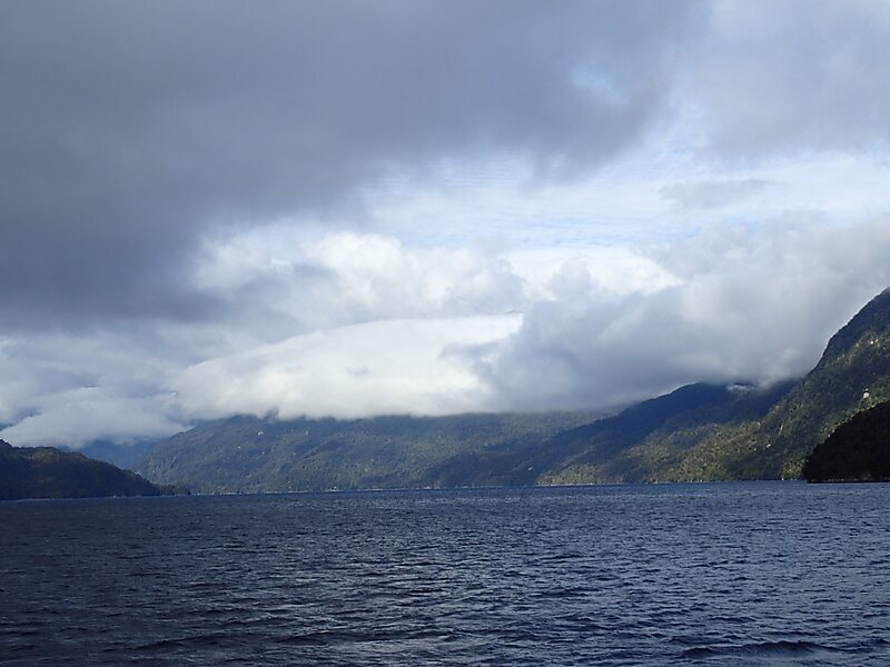
Rakituma / Preservation Inlet – 여행을 계획 중이신가요?
Tripomatic 앱에서 일자별 일정을 만들어 보세요.


Rakituma / Preservation Inlet is the southernmost fiord in Fiordland National Park and lies on the southwest corner of the South Island of New Zealand. With an area of 93 square kilometres, it is the fourth largest fiord in New Zealand, after Tamatea / Dusky Sound, Doubtful Sound / Patea, and the neighbouring Taiari / Chalky Inlet to the north. Rakituma was briefly the site of an attempted fishing and gold mining settlement at Cromarty during the 19th century, however this was quickly abandoned once the level of gold declined in relation to more promising fields elsewhere.
Source: Wikipedia
추가 정보 및 연락처


Rakituma / Preservation Inlet – 여행에 추가
스마트 경로 안내, 소요 시간 예측 등 완벽한 여행에 필요한 모든 기능을 통해 상세한 여행 일정을 만들어 보세요.

