



Devil's Bridge
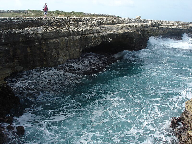
Devil's Bridge is a natural rock arch in eastern Antigua. It is located on the Atlantic coast at 17°6′1.7″N 61°40′42.2″W, near Indian Town… 자세히 읽기…
Devil's Bridge – 여행을 계획 중이신가요?
Tripomatic 앱에서 일자별 일정을 만들어 보세요.


Devil's Bridge is a natural rock arch in eastern Antigua. It is located on the Atlantic coast at 17°6′1.7″N 61°40′42.2″W, near Indian Town Point to the east of Willikies. The area around the arch features several natural blowholes which shoot up water and spray powered by waves from the Atlantic Ocean. This particular location is exposed to waves that are pushed by the Trade Winds with no land between here and Europe. Nearby popular local swimming spots such as Long Cove are sheltered by an offshore reef acts as a natural breakwater.
In 2008 it was declared National Park.
Source: Wikipedia
추가 정보 및 연락처


Devil's Bridge – 여행에 추가
스마트 경로 안내, 소요 시간 예측 등 완벽한 여행에 필요한 모든 기능을 통해 상세한 여행 일정을 만들어 보세요.

