



Mt. Yarigatake
Mount Yari is one of the 100 Famous Japanese Mountains. The 3,180-metre-high peak lies in the southern part of the Hida Mountains of Japan,… 자세히 읽기…
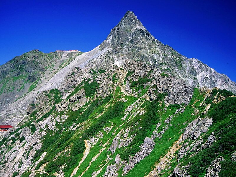
Alpsdake / Public domain


Mt. Yarigatake – 여행을 계획 중이신가요?
Tripomatic 앱에서 일자별 일정을 만들어 보세요.


Mount Yari is one of the 100 Famous Japanese Mountains. The 3,180-metre-high peak lies in the southern part of the Hida Mountains of Japan, on the border of Ōmachi and Matsumoto in Nagano Prefecture and Takayama in Gifu Prefecture. The priest Banryū founded a temple there. The headwater of Japan's longest river, the Shinano River, begins here as the Azusa River.
Source: Wikipedia
추가 정보 및 연락처
Wikipedia en.wikipedia.org/wiki/Mount_Yari
주소 Japan
좌표 36°20'31.128" N, 137°38'51.464" E
peak

리버사이드 호텔

Mt. Yarigatake
2h

코너 카페
45 min
리버사이드 호텔
Mt. Yarigatake – 여행에 추가
스마트 경로 안내, 소요 시간 예측 등 완벽한 여행에 필요한 모든 기능을 통해 상세한 여행 일정을 만들어 보세요.
300만+회 다운로드 · 별점 4.6점 · 15년 동안 함께한 여행 계획

