



Monterey Bay National Marine Sanctuary
The Monterey Bay National Marine Sanctuary is a federally protected marine area offshore of California's Big Sur and central coast in the… 자세히 읽기…
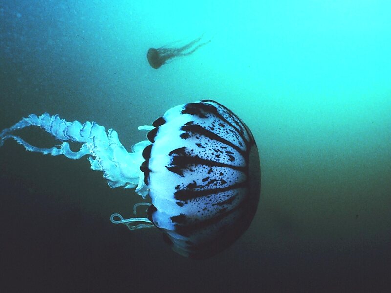


Monterey Bay National Marine Sanctuary – 여행에 추가
스마트 경로 안내, 소요 시간 예측 등 완벽한 여행에 필요한 모든 기능을 통해 상세한 여행 일정을 만들어 보세요.




The Monterey Bay National Marine Sanctuary is a federally protected marine area offshore of California's Big Sur and central coast in the United States. It is the largest US national marine sanctuary and has a shoreline length of 276 miles stretching from just north of the Golden Gate Bridge at San Francisco to Cambria in San Luis Obispo County. Supporting one of the world's most diverse marine ecosystems, it is home to numerous mammals, seabirds, fishes, invertebrates and plants in a remarkably productive coastal environment. The MBNMS was established in 1992 for the purpose of resource protection, research, education, and public use.
Source: Wikipedia
추가 정보 및 연락처
Monterey Bay National Marine Sanctuary – 여행에 추가
스마트 경로 안내, 소요 시간 예측 등 완벽한 여행에 필요한 모든 기능을 통해 상세한 여행 일정을 만들어 보세요.

