
Steese Highway
The Steese Highway is a highway in the Interior region of the U.S. state of Alaska that extends 161 miles from Fairbanks to Circle, a town… 자세히 보기…


Steese Highway – 여행에 추가
스마트 경로 안내, 소요 시간 예측 등 완벽한 여행에 필요한 모든 것을 포함한 상세한 여행 일정을 만드세요.




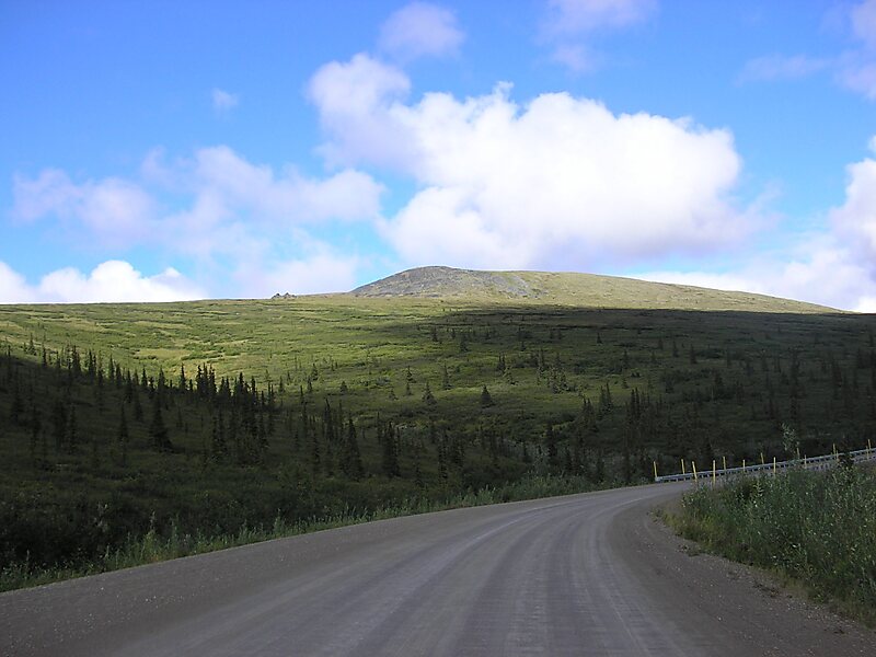
The Steese Highway is a highway in the Interior region of the U.S. state of Alaska that extends 161 miles from Fairbanks to Circle, a town on the Yukon River about 50 miles south of the Arctic Circle. The highway was completed in 1927 and is named for U.S. Army General James G. Steese, a former president of the Alaska Road Commission. It is paved for about the first 81 miles and around the town of Central it turns to dirt and gravel. Much of it is narrow and winding.
Source: Wikipedia
자세한 정보 및 문의
Steese Highway – 여행에 추가
스마트 경로 안내, 소요 시간 예측 등 완벽한 여행에 필요한 모든 것을 포함한 상세한 여행 일정을 만드세요.