
Peace Arch Park
Peace Arch Park is an international park consisting of Peace Arch Historical State Park in the United States and Peace Arch Provincial Park… 자세히 보기…


Peace Arch Park – 여행에 추가
스마트 경로 안내, 소요 시간 예측 등 완벽한 여행에 필요한 모든 것을 포함한 상세한 여행 일정을 만드세요.




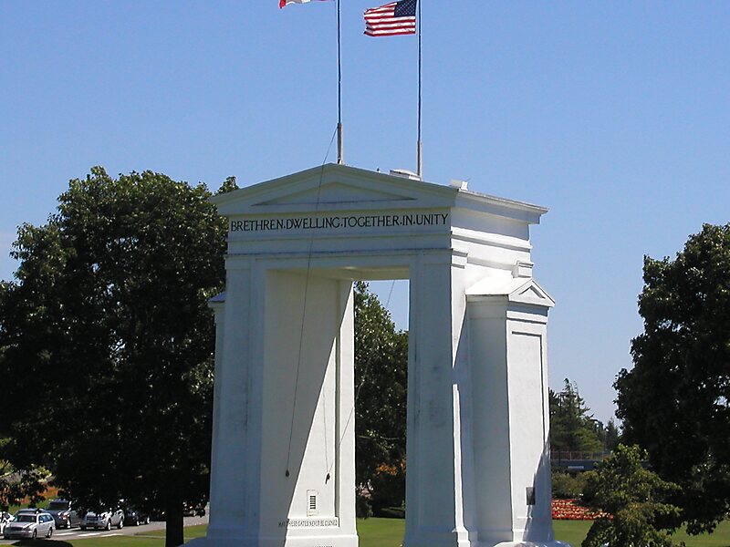
Peace Arch Park is an international park consisting of Peace Arch Historical State Park in the United States and Peace Arch Provincial Park in Canada. The park straddles the international boundary between the two countries at the extreme western end of the main contiguous section of the two countries' land border, between Blaine, Washington, United States, and Surrey, British Columbia, Canada, where it reaches Semiahmoo Bay of the Salish Sea on the continent's Pacific Coast. The park's central feature is the Peace Arch.
The park is located at the Peace Arch Border Crossing, where Highway 99 in British Columbia and Interstate 5 in Washington State meet. The park's northern portion is about 9 hectares and is managed by the British Columbia Ministry of Environment. The southern portion is about 20 acres and is managed by the Washington State Parks and Recreation Commission.
Source: Wikipedia
자세한 정보 및 문의
Peace Arch Park – 여행에 추가
스마트 경로 안내, 소요 시간 예측 등 완벽한 여행에 필요한 모든 것을 포함한 상세한 여행 일정을 만드세요.

